Maps: 1800s to present
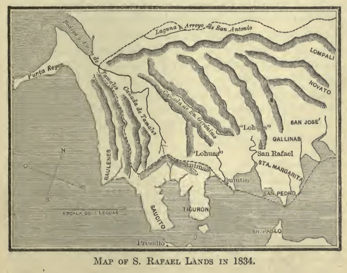
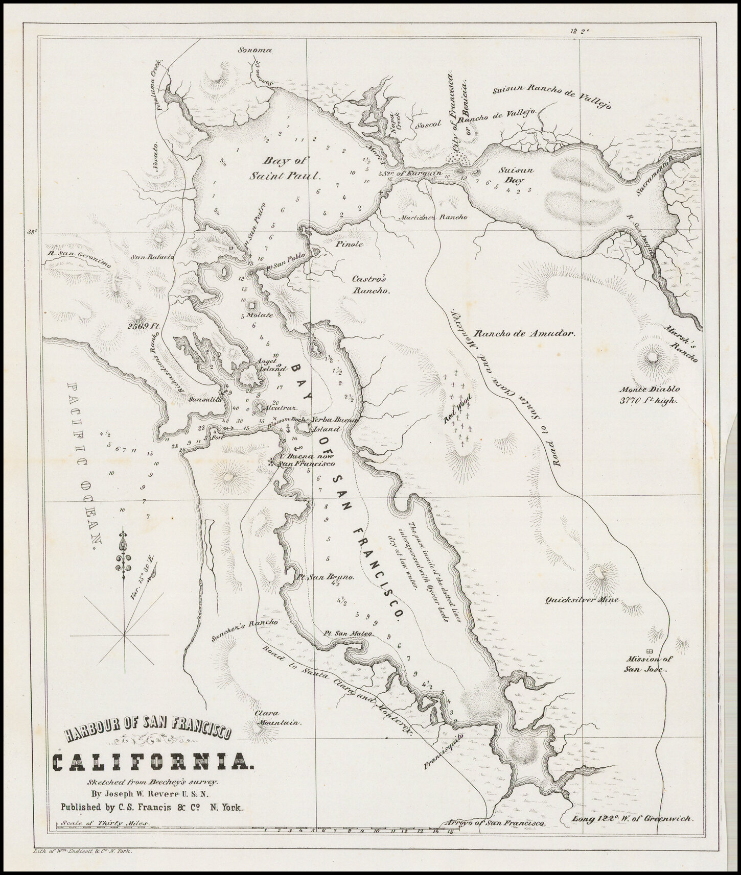
Despite being less suburbanized than areas to the east, the San Geronimo Valley was detailed in a surprising number of maps throughout the 19th and 20th centuries. Early parcel maps and cartographic representations come to us through navy cartographer Joseph Warren Revere. Later maps record the subdivision of the Valley by the heirs of the Mailliard family, then later the Lagunitas Development Company. The following maps are presented in chronological order based on creation or publication dates.
Click maps to enlarge.
Featured
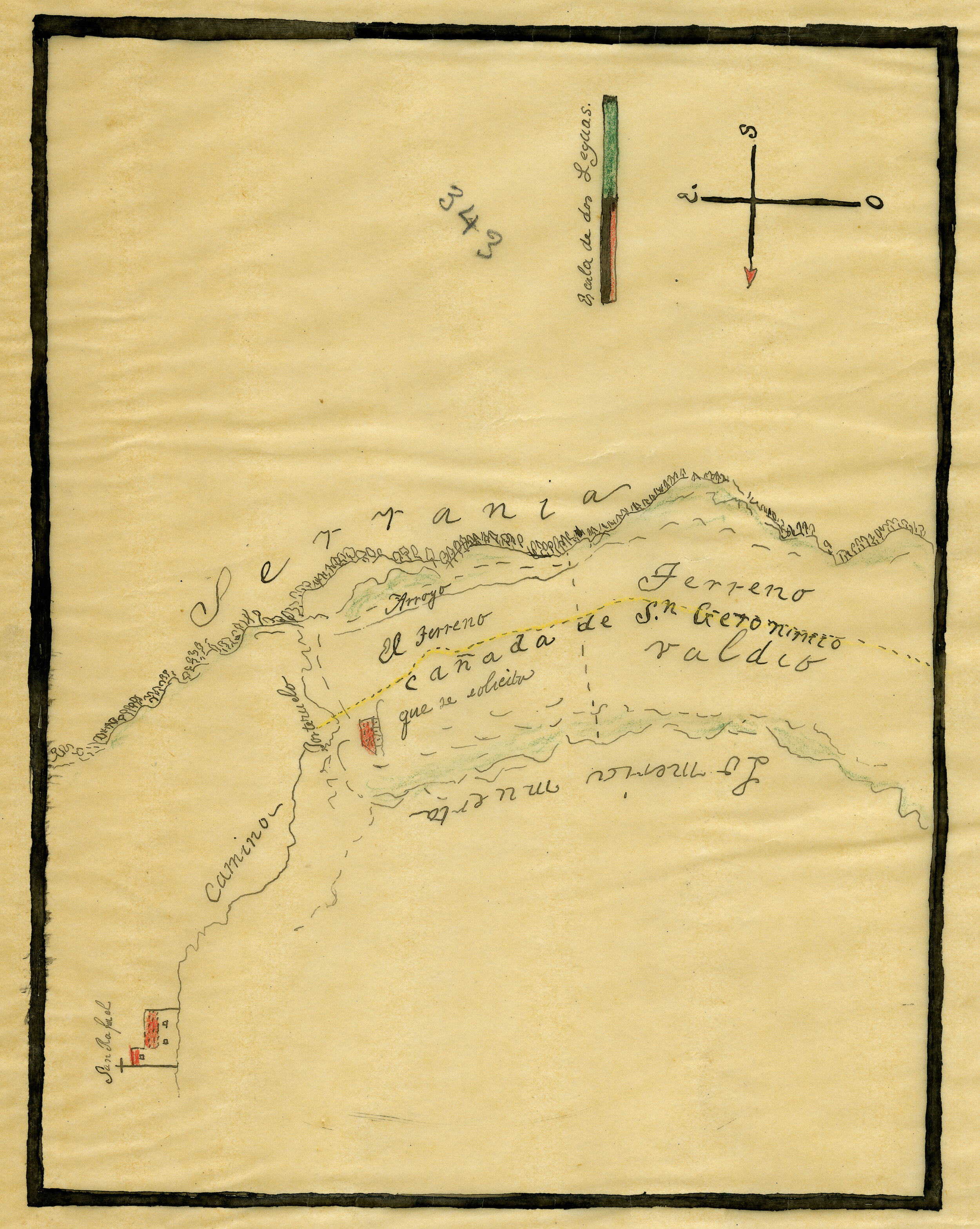
![Rancho San Gerónimo [Revere] - Diseño #667 | ca. 1853](/s/rg49ca-651-San-Geronimo-Revere-Disenos-667-Marin.jpg)
![Rancho San Gerónimo [Revere] - Diseño #667 | ca. 1853](/s/rg49ca-652-San-Geronimo-Revere-Disenos-667-Marin.jpg)


![Rancho San Gerónimo [Revere] - Diseño #667 | ca. 1853](/s/San-Gero_nimo-Revere-Diseno-667-GLO-No-39-Marin-County-and.jpg)